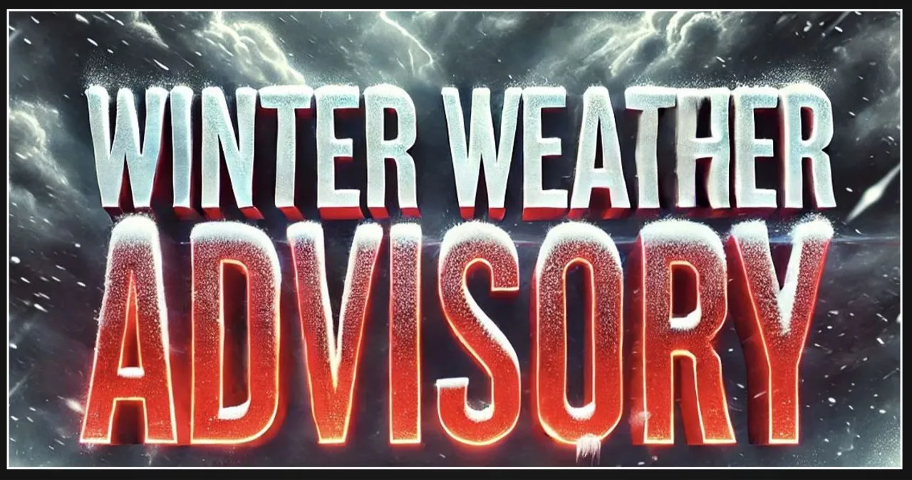
A winter weather advisory is currently in effect for central and western Virginia, as well as eastern West Virginia, from 6 a.m. to 6 p.m. on Saturday. The combination of snow, sleet, and freezing rain is expected to make travel conditions hazardous during this time.
The National Weather Service has forecasted that the snowfall could potentially reach up to one inch before transitioning into sleet and freezing rain. There is also a possibility of ice accumulations up to one-tenth of an inch. As a result, roads and sidewalks may become extremely slippery, posing a significant risk to travel.
On Saturday morning, the weather forecast indicates that there will be precipitation starting as snow. However, as the day progresses and temperatures rise, the snow will transition into sleet and freezing rain. Eventually, in the evening, the precipitation will change to rain due to the warmer temperatures.
Motorists need to be prepared for potentially hazardous driving conditions, such as slippery roads and limited visibility. It is highly advised to exercise caution by reducing speed and allowing extra travel time. To stay informed about the latest road conditions, it is recommended to dial 511 for updated information.
Residents need to exercise caution when walking on sidewalks and untreated surfaces due to the possibility of freezing rain. This type of weather can lead to power outages as the ice accumulates on trees and power lines. To prepare for such situations, it is important to have emergency supplies readily available, such as flashlights and extra batteries.