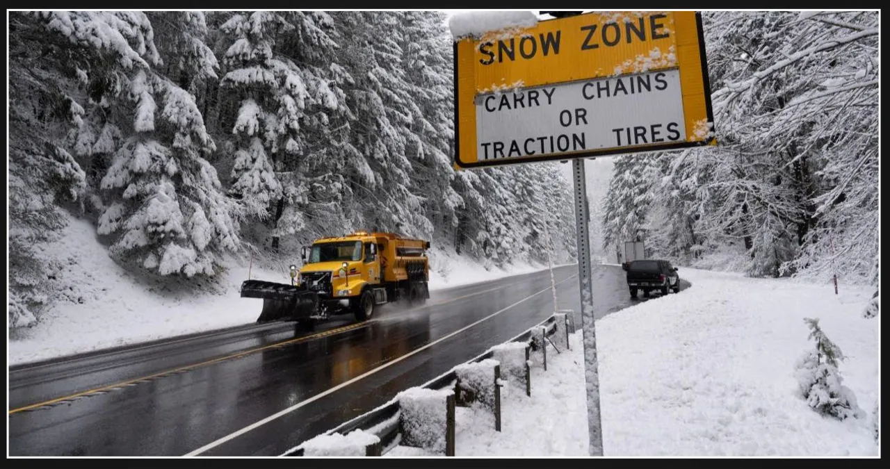
Winter weather may lead to travel delays this week as individuals embark on their Thanksgiving journeys, both on the road and in the air.
According to the National Weather Service, a surface low pressure system is anticipated to bring a moderate atmospheric river to the Western region on Tuesday. This system will result in the spread of “anomalous moisture” across southern and central California, as well as the Great Basin and Central Rockies.
According to a Tuesday morning forecast by the National Weather Service (NWS), there is a possibility of flash flooding due to heavy rain along the coastal and mountain areas. The NWS predicts that the windward foothills of the southern Sierra Nevada, specifically below 8,000 feet, may experience excessive rainfall, which could potentially trigger land, rock, and mudslides.
On Tuesday, there is a possibility of snow accumulations ranging from 1 to 3 feet in the higher elevations of the Sierra Nevada, as well as in the Intermountain West and the Central Rockies.
AccuWeather Chief On-Air Meteorologist Bernie Rayno mentioned in Tuesday’s forecast that a storm is currently making its way to Northern California, and it is expected to bring rainy and snowy conditions to the East by Thursday.
“We are currently analyzing several variables related to this storm, particularly its track and intensity, as they will determine the location of the rain and snow line, as well as the amount of snowfall in the Midwest and Northeast,” explained Rayno.
The storm is expected to gather more moisture from the Gulf of Mexico and the Atlantic as it moves eastward, resulting in increased strength from Wednesday night to Thursday night, as reported by AccuWeather.
According to Rayno, the strength of the storm in the East will not only determine its northern track, but also the boundary between rain and snow. Additionally, it will affect the accumulation of snow and the potential for slippery travel.
According to the NWS forecast, there will be ongoing snow showers in the Great Lakes region throughout the week. The Upper Peninsula of Michigan and the downwind areas of Lake Ontario can expect to receive a snowfall of 4 to 8 inches by Thursday morning.
Colorado is bracing itself for heavy snowfall as winter storm warnings have been issued across the Rockies. The forecast predicts multiple feet of snow, creating challenging conditions for residents and travelers in the region.
Cold turkey? Arctic blast to bring chilly temperatures across much of the US following Thanksgiving.
Snow forecast map
The map depicted below illustrates the likelihood of an area receiving over 4 inches of snow. You can adjust the slider located at the top left to switch between different days.
Weather warnings and watches around the US
National weather radar
Arctic blast to chill much of US after Thanksgiving
Forecasters revealed on Monday that an unwelcome blast of shockingly cold air from the Arctic is set to sweep across the majority of the eastern half of the country this weekend and into next week. What’s more, it looks like the cold spell may linger for quite some time.
The National Weather Service has announced that the first major Arctic outbreak of the season is set to hit the northern Rockies and northern Plains on Thanksgiving and Friday. Following this, the cold weather will extend its reach further south and east, affecting a large portion of the Plains and Midwest throughout the weekend.
According to Weather.com, approximately 196 million Americans may wake up to below-freezing temperatures on Saturday morning.
According to a post on X by the National Weather Service in Mount Holly, New Jersey, temperatures in many areas will be more in line with what is typically expected in mid-January by the weekend.
Travel records are also in forecast
This is an incredibly inconvenient time for anything that disrupts air travel.
According to the Transportation Security Administration (TSA), this year’s Thanksgiving travel period is predicted to be the busiest on record. TSA estimates that its agents will screen a staggering 18.3 million people from Tuesday through December 2, representing a significant 6% increase from the previous year.
According to a statement by the TSA, passenger volumes in 2024 have reached record-breaking levels, with a notable increase of 17% since 2022. TSA Administrator David Pekoske highlighted that all of the busiest travel days in TSA history have taken place in 2024 and expressed the expectation for this trend to persist in the future.
Low gas prices could drive record travel
According to AAA, an estimated 79.9 million individuals are expected to embark on a journey of 50 miles or more from their residences for Thanksgiving. This figure reflects an increase of 1.7 million travelers compared to the previous year and a significant rise of 2 million compared to 2019.
According to Stacey Barber, Vice President of AAA Travel, Thanksgiving is the most hectic holiday for travel. She anticipates that this year will see new records being set in all areas of travel, including driving, flying, and cruising.
Low gas prices are expected to drive an increase in travel, with the national average possibly falling below $3 a gallon for the first time since 2021.
Gabe Hauari, a renowned national news reporter at USA TODAY, can be followed on X @GabeHauari or reached via email at [email protected].
This article was originally published on USA TODAY and provides insights on which states are expected to experience snowfall on Thanksgiving. It also includes a projected snowfall forecast map to give readers a visual representation of the expected snowfall.

