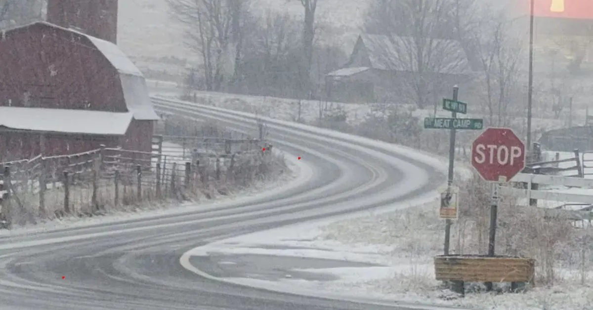
Will it snow in central North Carolina late Sunday and early Monday? We are closely monitoring a storm system that is expected to arrive during that time.
There’s a slim chance of snow this time, but there could be a mix of wintry precipitation near the Virginia state line on Monday morning.
TIMING: late weekend-early next week
A winter storm is set to arrive in the Central Plains by Saturday night, bringing with it the potential for heavy snowfall and icy conditions. As the storm system moves eastward, it is expected to reach the Mid-Atlantic region by early next week. This weather event has the potential to cause significant travel disruptions throughout the lower 48 states, starting this weekend.
In the Triangle area, it appears that we will experience only cold rain on Monday night. This is because we will be in the warmer sector of the storm system. Although there is some uncertainty regarding the precise track and timing of the storm, any potential changes are expected to have minimal impact on North Carolina. The most significant impacts are anticipated to occur to the north and west of the state.
JANUARY COLD
In the upcoming month, expect frigid temperatures with highs ranging in the 30s and 40s until at least January 15th. But what about the precipitation needed to bring us snow?
According to the Climate Prediction Center, the upcoming 8 to 14 days are expected to have below-average precipitation.
It has been 1068 days since the Raleigh area last experienced measurable snowfall.

