Cold Fronts to Bring Arctic Blast and Gusty Winds Across Iowa
After enjoying sunny weather today, Iowa residents should brace for significant changes as two cold fronts move through the state in the next 24 hours.
The first front is expected to arrive early Wednesday morning, bringing a band of clouds and a shift in winds to the northwest. As the day progresses, winds will intensify, prompting a Wind Advisory for areas along and north of Interstate 80 starting at noon. Gusts are forecast to reach 40-50 mph, with sustained breezes of 20-30 mph lasting into the evening.
Later Wednesday afternoon, the second cold front will sweep southward across Iowa. Along with more clouds, this front may bring brief snow showers or light sprinkles.
These snow bursts could temporarily reduce visibility, posing challenges for drivers. The most dramatic impact, however, will be a sharp temperature drop.
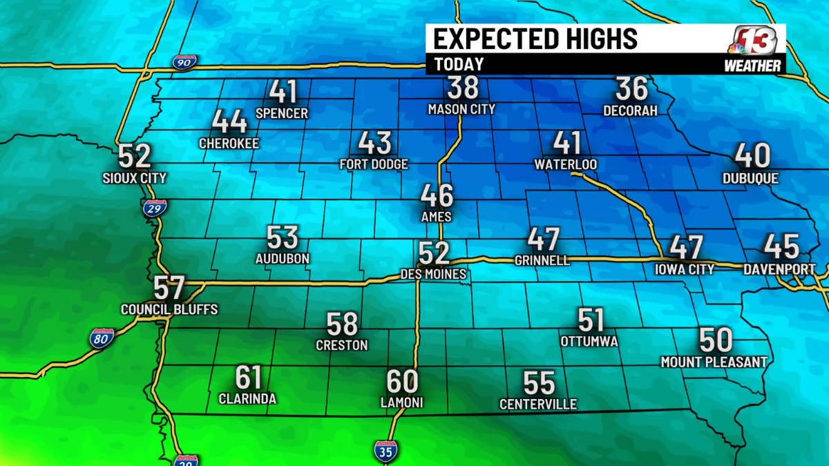
As Arctic air surges in and gusty winds persist, wind chills will fall below 0°F in northern Iowa by late Wednesday. In contrast, southern Iowa will remain up to 30°F warmer earlier in the day.
By Wednesday night, the entire state will experience the chill, with wind chills plunging to -15°F in northern Iowa and the Des Moines area waking up to single-digit subzero temperatures on Thursday morning.
Despite the frigid start to Thursday, relief is in sight. A rapid warm-up is forecast for the weekend, with highs reaching around 50°F on both Saturday and Sunday.
Extended Forecast Highlights
Early next week, a shift in weather patterns could bring rain or snow to Iowa from Sunday through Tuesday, though details remain uncertain.
Day-by-Day Weather Breakdown
- Today: Mostly sunny with a high near 34°F. Winds SSW at 10-15 mph, gusting to 25 mph.
- Tonight: Partly cloudy with a low of 29°F. Winds WSW at 10-15 mph.
- Wednesday: Partly cloudy and windy with a high near 42°F. Winds NW at 20 mph, gusting to 40 mph by afternoon.
- Wednesday Night: Clear skies and bitterly cold with a low of 11°F. Winds NNW at 15-25 mph, with wind chills below 0°F.
Stay alert for weather updates and prepare for hazardous conditions as the fronts move through.

