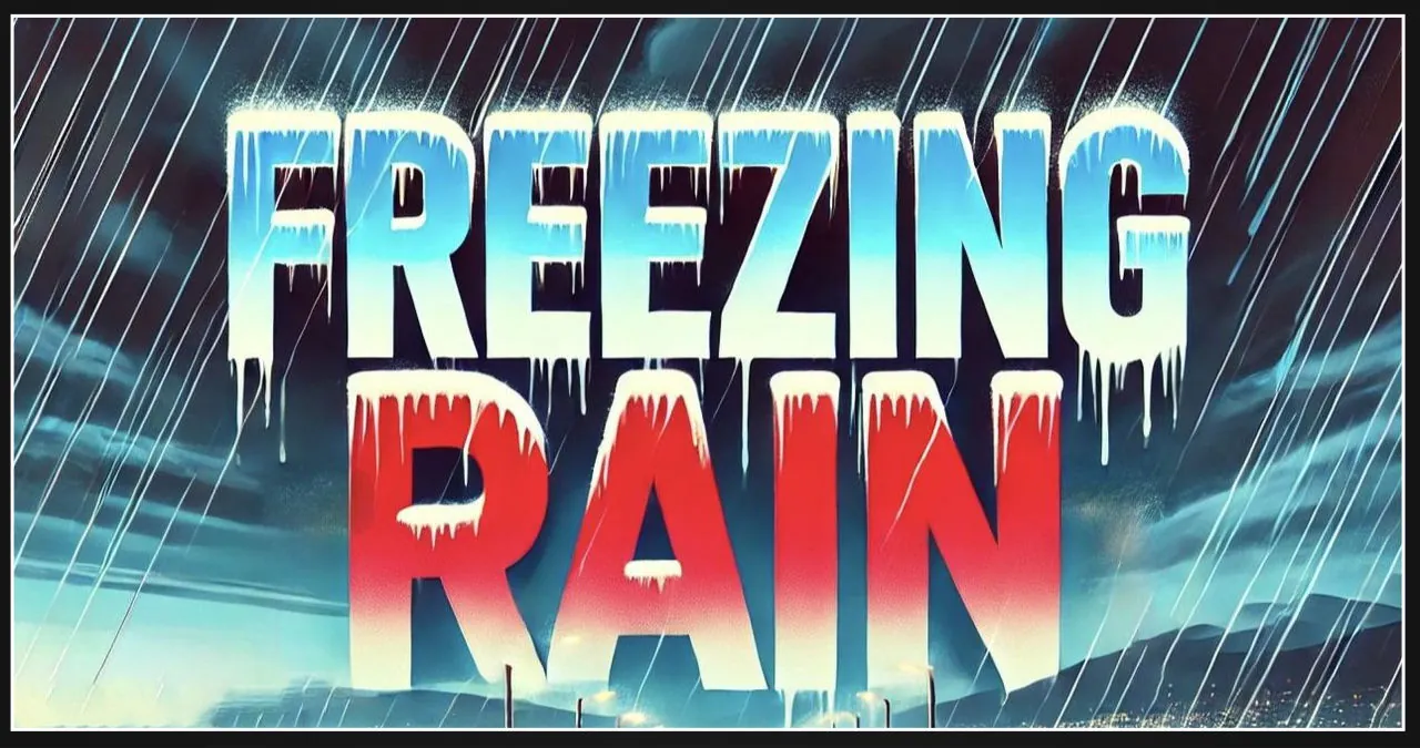
Freezing rain is forecasted to impact central Indiana from late Wednesday to early Thursday, resulting in potentially treacherous travel conditions and slippery roads. Areas such as Lafayette, Kokomo, and Muncie may experience a slight build-up of ice on elevated surfaces.
The National Weather Service predicts that a warm front will approach, resulting in rain tonight. In certain regions, the rain may initially freeze, but the ice accumulation is anticipated to be less than 0.05 inches. However, it is important to note that untreated roads and bridges may become perilously slippery. Fortunately, temperatures are expected to rise above freezing overnight, bringing an end to the icing threat by morning.
Thursday’s weather will feature clearing skies, with temperatures reaching around 50°F. However, a new wave of winter weather is expected to arrive on Friday night, bringing a combination of rain and snow. There is a chance of snow accumulation late Friday through Saturday morning, and more snowfall is anticipated on Monday night into Tuesday.
Motorists need to exercise caution tonight and early Thursday morning, particularly when crossing bridges and overpasses. It is important to be prepared for quickly changing weather conditions this weekend as more winter precipitation is expected. Stay informed about local weather alerts and road conditions before embarking on any travel plans.