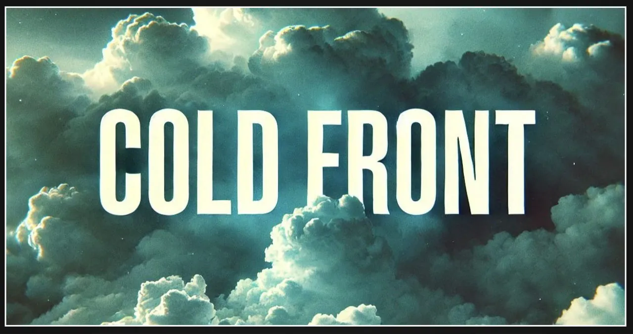
Illinois residents are in for a pleasant surprise as unseasonably warm weather is expected to grace the state before a strong cold front arrives later this week. Central and southern areas can look forward to highs in the 60s, while the northern regions will experience slightly cooler temperatures in the 50s.
The Illinois Emergency Management Agency predicts that a cold front will pass through on Tuesday, restoring temperatures to their usual levels. As we move into Wednesday, there is a possibility of freezing rain affecting central and northern Illinois, particularly north of I-70. Additionally, there may be a chance of snow mixing in across the northern regions.
Severe weather is possible south of I-72 on Wednesday night, with storms expected to roll in. The main concern for this area is the potential for small hail and heavy rain, particularly in southeastern Illinois. However, there is still some uncertainty regarding temperatures, which could affect the possibility of freezing rain.
Residents should stay vigilant and keep an eye on weather forecasts to stay informed about any potential changes in conditions. It is important to be prepared as roadways may become dangerous, particularly due to the presence of ice and heavy rainfall. Local authorities strongly recommend staying updated on the latest weather alerts to ensure personal safety.