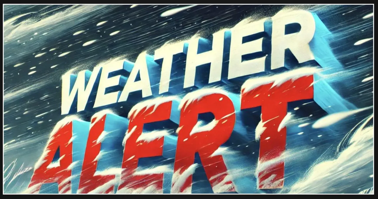
Western New York is currently facing a series of winter weather alerts, with snow, ice, and strong winds forecasted to affect the region until late Tuesday night. These conditions bring about dangerous travel situations and the possibility of power outages.
The National Weather Service in Buffalo has issued a Winter Weather Advisory for areas including Buffalo, Rochester, and Niagara Falls. This advisory will remain in effect until 1 a.m. Monday. Snow and sleet accumulations are expected to range between 4 to 8 inches, with the possibility of ice reaching up to three-tenths of an inch. Additionally, strong winds with gusts up to 50 mph are anticipated, which could lead to downed trees and power lines.
A Winter Storm Watch is set to take effect from late Sunday night through Tuesday night for Oswego, Wayne, and Northern Cayuga counties. In these areas, lake effect snow is expected to result in significant accumulation, with some areas potentially receiving up to 24 inches of snow. Travel conditions may become extremely difficult as visibility may drop below a quarter mile at times. This could particularly impact the morning and evening commutes on Monday.
Residents are being advised by officials to exercise caution while driving on slippery roads and to be prepared for potential power outages. The storm’s fluctuating conditions, particularly within lake effect snow bands, will present a challenge for travelers throughout its duration. To help monitor and assess the impact of snow and ice, individuals are encouraged to submit reports via the National Weather Service website or through various social media platforms.