There is a lot of anticipation surrounding a potential powerful storm that is expected to affect the Weather First area in the early-to-middle parts of next week. This storm has the potential to bring both rain and possibly even snow to the region.
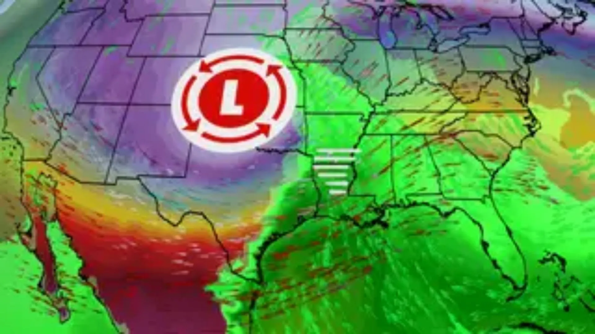
On Tuesday, a surface low pressure system will form in the Central Plains and bring moisture up from the Gulf as it moves northeast towards our region. The precipitation expected will be in the form of rain, considering the warm temperatures.
According to the latest data, the storm is projected to move south of our region, passing through north-central Missouri and western Illinois. As a result, our area will be situated on the colder and northwest side of the storm. If there is a sufficient amount of colder air in place, we can expect a transition from rain to snow on Wednesday, potentially leading to some accumulations.
As we are still several days away from this system, there remains uncertainty regarding its track. Typically, at this point, we analyze the overall trends in model data and consider the potential storm track and precipitation type to gain a general understanding. More specific information will be available over the weekend as it approaches.