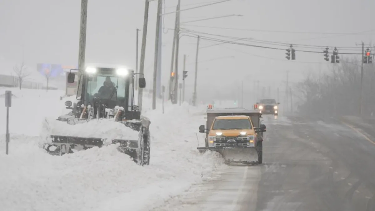
The Great Lakes region, which was already heavily impacted by snow over the holiday weekend, is set to face another round of intense snowfall as an “Alberta Clipper” system moves through the area.
A strong cold front is expected to affect the region from Wednesday to Thursday night, bringing more snow, frigid temperatures, and gusty winds to the Upper Midwest and Great Lakes, according to the Weather Channel.
Starting Wednesday, this arctic front will trigger snow, strong winds, and below-normal temperatures. Wind gusts up to 40-50 mph are likely, which could result in whiteout conditions and hazardous travel.
The Weather Channel warned that snow squalls could cause sudden drops in visibility and rapid snow accumulation on dry roads, making travel risky even in areas outside the typical snowbelts of the Great Lakes.
As cold winds from the north move across the warmer waters of the Great Lakes, lake-effect snow bands will form, intensifying the snowfall from Wednesday into Thursday.
By Friday, these snow bands are expected to travel eastward. While the system will be brief, areas like Erie, Watertown, and Syracuse could see an additional 5-8 inches of snow before the end of the week.
This upcoming snowstorm follows the first significant lake-effect snow event of the season, which hit the region over the Thanksgiving weekend. Over 4 feet of snow fell in parts of northeast Ohio, northwest Pennsylvania, southwest and upstate New York, and Ontario, Canada.
In Michigan, northern areas of the state, particularly the Upper Peninsula, are still experiencing heavy snow, with some places expected to receive up to 3 feet of snow from Sunday night into Monday, as reported by the National Weather Service in Gaylord.
Erie, Pennsylvania, had only received 0.1 inch of snow before Thanksgiving, but on Black Friday, they set a record with 22.6 inches of snow, the heaviest calendar-day snowfall in the city’s history.

