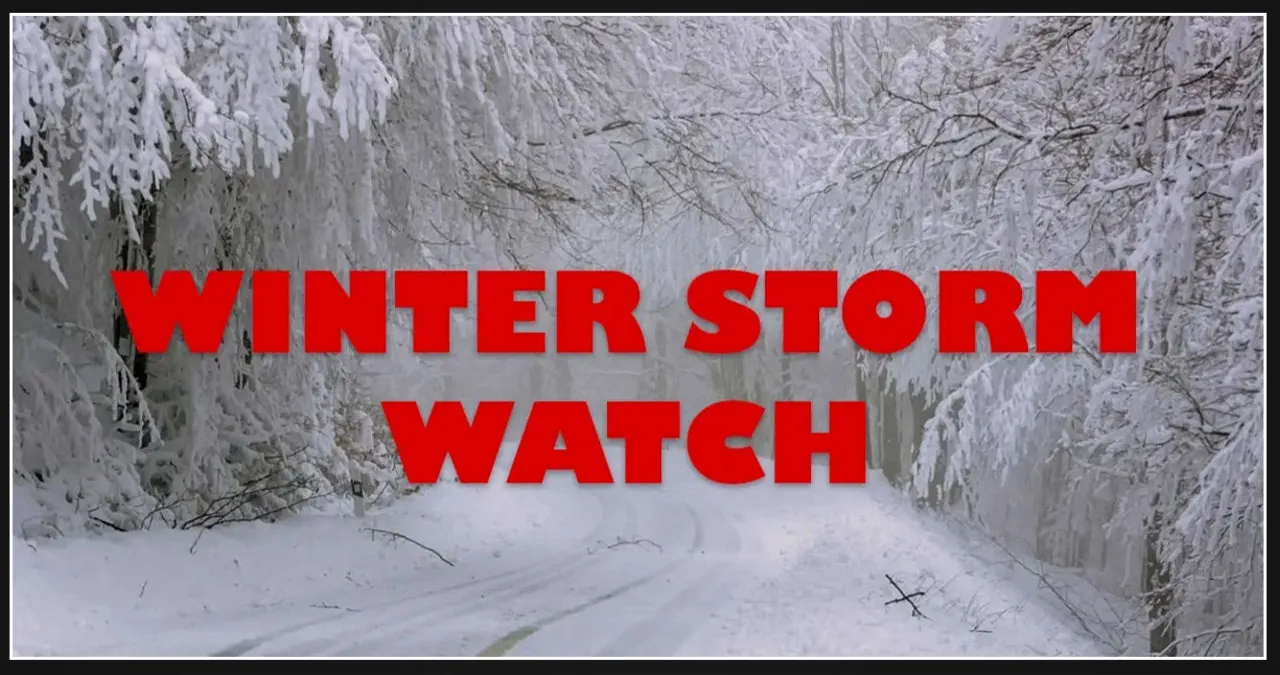
A significant winter storm is set to affect a substantial area of Kansas and Missouri, with the potential for heavy snowfall and extremely challenging travel conditions. Numerous Winter Storm Warnings have been issued, encompassing a wide array of counties and cities.
Central, South Central, and Southeast Kansas:
A Winter Storm Warning has been issued for Saline, McPherson, Marion, Chase, Harvey, Butler, Greenwood, Woodson, Allen, Sedgwick, Cowley, Elk, Wilson, Neosho, Chautauqua, Montgomery, and Labette counties, starting from midnight tonight until 6 AM CST Wednesday. This warning covers cities such as Newton, Iola, Winfield, Wichita, El Dorado, Parsons, and Coffeyville. The forecast predicts snowfall of 5 to 8 inches, accompanied by winds gusting up to 35 mph.
North Central, Northeast, and East Central Kansas:
A Winter Storm Warning is still in effect for Cloud, Clay, Riley, Pottawatomie, Jackson, Jefferson, Ottawa, Dickinson, Geary, Morris, Wabaunsee, Shawnee, Douglas, Lyon, Osage, Franklin, Coffey, and Anderson counties from 6 PM this evening to midnight CST Tuesday night. This warning includes Topeka, Lawrence, Manhattan, Emporia, Ottawa, and Junction City. The forecast predicts snowfall totals of 5 to 7 inches, with the potential for higher amounts of 6 to 9 inches along and south of the I-35 corridor.
Northeast Kansas and Western Missouri:
A Winter Storm Warning has been issued for Leavenworth, Wyandotte, and Johnson counties in Kansas, as well as Platte, Clay, Jackson, and Lafayette counties in Missouri. This warning will be in effect from midnight tonight until 3 AM CST Wednesday. The cities of Kansas City, Overland Park, Olathe, and Independence are included in this warning. Residents in these areas should anticipate snowfall amounts of 5 to 7 inches.
East Central Kansas and Central/West Central Missouri:
A Winter Storm Warning has been issued for Miami and Linn counties in Kansas, as well as Cass, Johnson, Pettis, Cooper, Bates, and Henry counties in Missouri. The warning is in effect from midnight tonight until 3 AM CST on Wednesday. Residents in these areas should anticipate heavier snowfall, with a predicted accumulation of 6 to 10 inches. Some of the cities that will be affected by this storm include Paola, Harrisonville, Warrensburg, and Butler.
Southeast Kansas and Central/Southern Missouri:
A more severe Winter Storm Warning is currently in effect from midnight Monday night to 6 AM CST Wednesday for Bourbon, Crawford, and Cherokee counties in Southeast Kansas, as well as a large portion of Missouri. This warning encompasses central, east central, south central, southwest, and west central Missouri. Anticipated snowfall totals range from 6 to 10 inches throughout the region, with the potential for localized amounts reaching up to 14 inches. Additionally, winds reaching 20-30 mph, particularly along the I-49 corridor, could result in blowing and drifting snow, potentially causing visibility to decrease below a quarter mile.
Travel Impacts and Precautions:
The winter storm will bring about highly dangerous travel conditions in the affected regions. Roads, bridges, and overpasses are expected to become slick and perilous. The timing of the storm is especially worrisome, as it will affect both the morning and evening commutes on Tuesday. Travel may become almost impossible in certain areas.
Residents are being urged by authorities to take the necessary precautions. In the event that travel cannot be avoided, motorists should ensure they have an additional flashlight, food, and water in their vehicles, in case of an emergency. To stay updated on the latest road conditions in Kansas, dial 511 or visit KanDrive.gov. Missouri residents can visit traveler.modot.org or call 1-888-275-6636. In areas where heavy snowfall is expected, officials recommend delaying all travel if possible and preparing a winter storm kit for their vehicles.