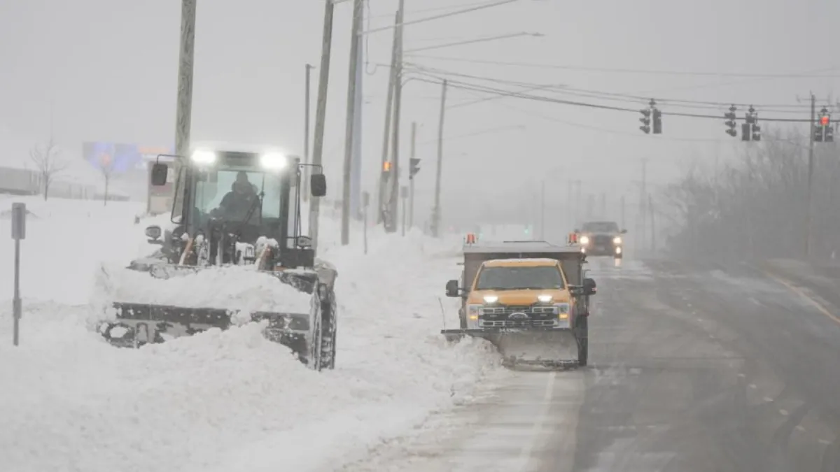
A powerful winter storm fueled by lake-effect snow has hit western and northern New York, with the town of Copenhagen, near Lake Ontario, taking the brunt of the impact. Over the Thanksgiving holiday weekend, Copenhagen recorded an astonishing 58.8 inches of snow.
Some areas, like Barnes Corners, have seen over 5 feet of snow accumulation. Drone footage captured by storm chaser Aaron Rigsby on Monday shows the town buried under deep snow.
On Saturday, nearby Watertown experienced a rare meteorological event known as thundersnow. This phenomenon occurs when thunderstorms form within a snow band, bringing thunder, lightning, and heavy snowfall. FOX Weather Exclusive Storm Tracker Brandon Copic also captured thundersnow in Blasdell, New York, further showcasing the unusual nature of this storm.
The heavy snow, combined with thundersnow, is a rare occurrence in this region, which is normally prone to lake-effect snow due to its proximity to Lake Ontario and Lake Erie.
The intense snow bands from Lake Erie have caused significant disruptions, including the closure of Interstate 90 and multiple accidents. Snowfall rates of up to 4 inches per hour have overwhelmed road crews, making travel conditions hazardous.
As the snow bands shift southward, areas like Rochester and Syracuse, located downwind of Lake Ontario, are now experiencing heavy snow.
Authorities are advising people to stay indoors and avoid unnecessary travel. While snow rates are expected to decrease with a wind direction change on Tuesday, the storm pattern may intensify again by the end of the workweek.

