What’s New?
This Article Includes
Texas is currently experiencing severe weather conditions on Christmas Eve, with large hailstones the size of quarters, strong winds reaching up to 65mph, and thunderstorms causing significant damage.
Why It Matters
Many Americans were traveling home just in time for the holidays when the winter storms hit.
According to the American Automobile Association (AAA), more than 119 million people are expected to travel during the holiday season, setting a new record for holiday travel. This includes both road trips and air travel.
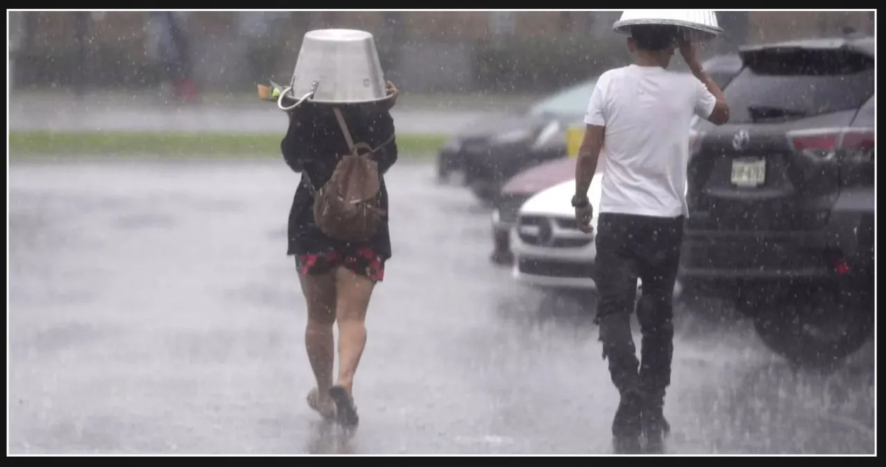
Texans who chose to leave their travel plans until Christmas Eve may have encountered severe weather conditions such as hailstorms, flooded roads, and even possible tornadoes. The weekend was predicted to be the busiest travel period.
Texans can expect a wet Christmas this year as the storms are expected to persist until Christmas Day.
What To Know
Much of Texas is currently under severe thunderstorm warnings issued by the National Weather Service (NWS). This comes after a winter storm swept through the state, bringing with it heavy rain and strong winds.
On Tuesday, forecasters issued a flash flood warning in the Fort Worth, Texas area. In addition, a tornado warning was also issued for the southeast region of the state. They cautioned about the possibility of multiple tornadoes, winds reaching up to 65mph, and hail with a diameter of up to two inches.
Texans across the state have been sharing videos and pictures showcasing the sizable hailstones that recently descended upon their backyards. Fortunately, there haven’t been any reports of significant damage caused by this hailstorm.
Severe weather conditions led to the issuance of a ground stop at Bush Intercontinental Airport on Tuesday afternoon.
The NWS has issued a warning stating that the current conditions are favorable for the formation of supercells, which could potentially produce significant hail. There is also a possibility of isolated instances of strong winds causing damage along the more intense portions of the storm system.
Supercells are thunderstorms that rotate and have the ability to last for several hours, cover vast distances, and frequently generate tornadoes.
What People Are Saying
The National Weather Service issued a statement earlier today, warning that a line of powerful thunderstorms is expected to develop late this afternoon into this evening across east-central Texas. These storms have the potential to produce large hail and marginally severe gusts.
“It’s absolutely crazy at my place in Cypress, TX right now. I’m in a suburb of Houston and we’re experiencing some intense weather with massive hailstones pounding the ground,” shared a Cypress, Texas resident while capturing a video of the remarkable event in her backyard.
Meredith Seaver, a resident of Cypress, Texas, shared a picture of massive hailstones and humorously questioned, “Is this a Christmas miracle?”
On X, meteorologist Max Velocity warned, “SE Texas will be hit by a severe line of storms tonight, including Houston. There is a risk of damaging winds, large hail, and a potential tornado. It might make Santa’s journey a bit challenging!”
What Happens Next?
The storm is forecasted to bring heavy rain and strong winds, which are expected to persist until 5 a.m. CST.
Severe thunderstorm warnings have been issued by the National Weather Service for regions of Texas until 8 p.m. CST. Additionally, severe thunderstorm watches have been put in place for parts of Texas until 12 a.m. CST.
Expect light rain on Christmas Day and through Thursday, with another storm system moving into the region on Friday. This will bring continued rain throughout Saturday.

