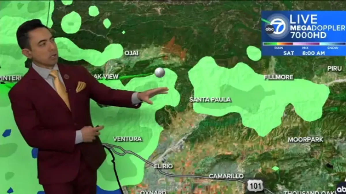
A powerful storm system unleashed heavy snowfall and record-breaking rain in California, triggering small landslides and flooding on certain streets.
Meanwhile, on the other side of the country, blizzard and winter storm warnings were issued on Saturday for regions stretching from the Northeast to central Appalachia.
According to Torry Dooley, a meteorologist with the National Weather Service, a new storm system is forecasted to approach the Pacific Northwest during Thanksgiving week and persist until Tuesday. This system will bring both rain and snow to the higher elevations.
Rain and snow are expected in the Midwest and Great Lakes regions on Monday. However, the East Coast will experience the most significant impact from the weather on Thanksgiving and Black Friday.
A low-pressure system is expected to bring rain to the Southeast on Thursday morning before moving towards the Northeast. This could result in rain and strong winds in areas from Boston to New York.
Additionally, there is a possibility of snowfall in parts of northern New Hampshire, northern Maine, and the Adirondacks. However, if the system tracks further inland, there may be less snow in the mountains and more rain instead.
Deadly ‘bomb cyclone’ roared ashore on West Coast
The storm arrived on the West Coast earlier this week, causing devastation in the Pacific Northwest. Two lives were tragically lost, and hundreds of thousands of people, mainly in the Seattle area, were left without power.
The powerful winds of this “bomb cyclone” moved through Northern California, leaving destruction in its wake. Trees were uprooted, blocking roads and damaging vehicles and houses.
Santa Rosa, California experienced its highest three-day rainfall on record, with approximately 12.5 inches (32 centimeters) of rain falling by Friday evening, as reported by the National Weather Service in the Bay Area.
Part of the picturesque Highway 1, famously known as the Pacific Coast Highway, in Mendocino County had to be closed due to flooding. The California Department of Transportation has not provided an estimated time for when the highway will be able to reopen.
On the East Coast, a separate storm provided a welcome reprieve by bringing much-needed rain to New York and New Jersey, where rare wildfires had been devastating the area.
Additionally, northeastern Pennsylvania experienced heavy snowfall. The blizzard warning in parts of West Virginia extended through Saturday morning, as high winds and up to 2 feet (61 centimeters) of snowfall created hazardous travel conditions.
Tens of thousands lose power in Seattle area
Over 87,000 people in the Seattle area remained without power as they entered the weekend, following the impact of this season’s most powerful atmospheric river.
An atmospheric river is a long plume of moisture that forms over the ocean and moves across land. The local authorities have been working diligently to clear the streets of fallen power lines, branches, and other debris.
Additionally, several cities have opened warming centers to provide warm meals and charging facilities for those who have been without power for four consecutive days.
Gale warnings were issued for the areas of Washington, Oregon, and California, indicating potentially strong winds and rough seas.
Additionally, high wind warnings were in effect across parts of Northern California and Oregon, highlighting the risk of strong gusts and hazardous conditions.
In the mountainous regions, winter storm warnings were in place for sections of the California Cascades and the Sierra Nevada, signaling the potential for heavy snowfall and challenging travel conditions.
Forecasters are predicting that the storms will begin to ease up on both coasts. The system in the northeast is expected to move into eastern Canada, while the one in the West is forecasted to head south.
On Friday night, residents in California breathed a sigh of relief as the Humboldt County sheriff’s office decided to downgrade evacuation orders to warnings for those living near the Eel River.
The decision came after forecasters predicted that while the waterway would experience moderate flooding, it would not reach the level of a major flood.
Northeast gets much needed precipitation
In the Northeast, where drought has taken its toll, people can expect over 2 inches (5 centimeters) of rain by Saturday morning, especially in areas north of New York City. At higher elevations, there may even be a mix of snow.
The precipitation, despite the mess it caused, was anticipated to alleviate drought conditions in a state that has experienced an unusually dry autumn.
According to Bryan Greenblatt, a meteorologist at the National Weather Service in Binghamton, New York, the current weather conditions may not completely alleviate the drought, but they will certainly provide some relief once all the snow melts.
Heavy snowfall blanketed northeastern Pennsylvania, including the picturesque Pocono Mountains, leading to numerous school closures.
The higher elevations experienced substantial accumulations of up to 17 inches (43 centimeters), while valley cities like Scranton and Wilkes-Barre received lesser amounts.
As a result of the snowstorm, fewer than 80,000 customers in 10 counties were left without power, necessitating prompt action by power companies. Additionally, the state transportation department implemented speed restrictions on select highways to ensure the safety of motorists.
Parts of West Virginia saw their first substantial snowfall of the season on Friday and overnight Saturday. The higher elevations of the Allegheny Mountains received up to 10 inches (25.4 centimeters) of snow, leading to hazardous travel conditions. In some areas, a blizzard warning was in effect due to strong winds.
The recent rainfall has made a significant impact on the state’s severe drought, which has been the worst in at least twenty years. This much-needed precipitation has also provided a much-appreciated boost for the ski resorts in West Virginia as they gear up to open their slopes in the upcoming weeks.

