The National Weather Service (NWS) Medford has issued a Wind Advisory for Central Siskiyou County, which includes Interstate 5 from Grenada south to Weed. The advisory warns of strong gusts and the possibility of power outages. It will be in effect from 10 p.m. Thursday to 7 p.m. Friday.
Why It Matters
This Article Includes
Travelers and residents face substantial risks from high winds, especially when traveling on major highways like I-5. Driving can become challenging due to strong gusts, particularly for vehicles with a higher profile such as trucks and trailers. Additionally, power outages can disrupt daily activities and emergency services, underscoring the importance of being prepared and exercising caution.
The Wind Advisory
The National Weather Service (NWS) predicts that there will be sustained winds ranging from 25 to 35 mph, with gusts reaching up to 50 mph. These strong winds have the potential to cause objects that are not secured to be blown around, tree limbs to fall, and scattered power outages throughout the affected area.
What To Know
The National Weather Service has issued a wind advisory for Central Siskiyou County, which is a crucial transit corridor. The strongest winds are forecasted to occur from late Thursday night to Friday afternoon, gradually diminishing by the evening. Residents are advised to secure any outdoor items, avoid unnecessary travel, and be prepared for possible power outages.
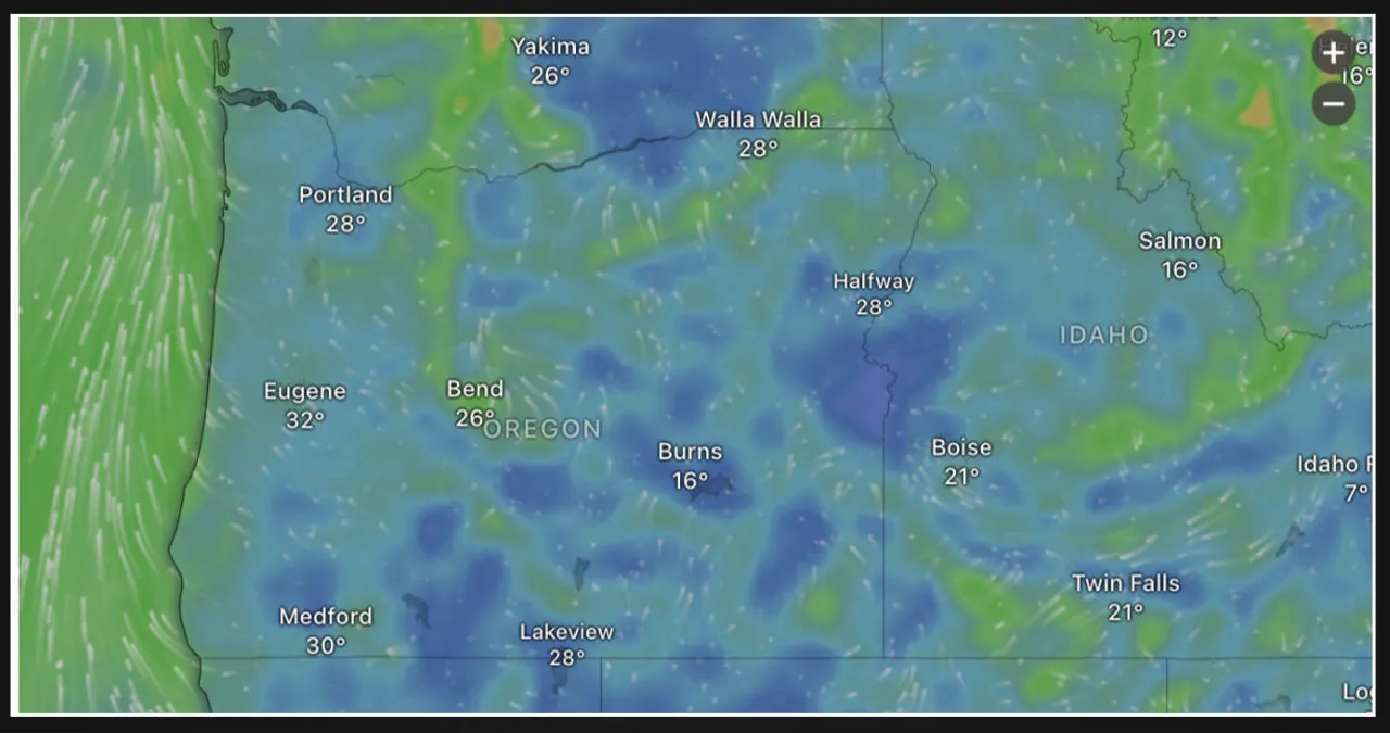
Oregon Upcoming Weather Forecast
According to the National Weather Service, Medford can expect mild weather conditions for the next seven days. Thursday will see temperatures climbing to a high of 52 degrees Fahrenheit, with rain showers expected in the evening. The following day, Friday, will bring continued rain with a high of 50 degrees Fahrenheit and a low of 38 degrees Fahrenheit.
On Saturday, there will be intermittent showers throughout the day. The temperatures will range between 51 and 37 degrees Fahrenheit. Moving on to Sunday, it will be partly cloudy with a slight chance of rain. The high temperature is expected to reach around 53 degrees Fahrenheit. As for Monday, the weather will be mostly sunny with a high of 55 degrees Fahrenheit and a low of 39 degrees Fahrenheit.
Tuesday will bring a return of rain chances, with scattered showers throughout the day and a high temperature of 50 degrees Fahrenheit. On Wednesday, the skies will be overcast with light rain, and the high temperature will be 48 degrees Fahrenheit. Although it is unlikely for significant snowfall to occur in lower elevations, the snow levels are expected to remain above 4,000 feet. It is advisable for residents to stay updated with the National Weather Service for any changes to the forecast.
What People Are Saying
The National Weather Service (NWS) in Medford, Oregon, has issued a wind advisory, stating that there will be gusty winds that can potentially blow around unsecured objects. They also mentioned the possibility of tree limbs being blown down and a few power outages occurring.
The advisory emphasized that driving can be challenging, especially for high-profile vehicles, due to the powerful winds. It urged drivers to exercise extra caution in such conditions.
What Happens Next
The Wind Advisory is still in effect until Friday evening. Weather officials will continue to monitor conditions and provide updates as needed. It is important for residents to stay informed by following official NWS alerts and local news sources.