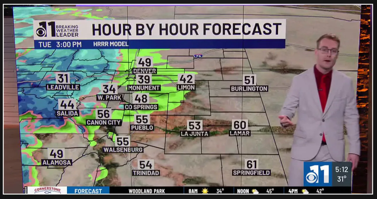
On Tuesday, snow will start to develop over the mountains, creating challenging travel conditions. There may be a few showers in the afternoon around the Pikes Peak Region, but for the most part, it will be dry with cloudy skies. Expect mild temperatures in the 50s, while winds could be slightly breezy along the Front Range.
On Wednesday, snowfall will rapidly move into the I-25 corridor in the early morning, resulting in challenging driving conditions. If you have any remaining Thanksgiving travel plans, it is advisable to monitor the weather closely.
Additionally, expect breezy winds throughout the day. However, in the afternoon, the precipitation will gradually diminish from north to south.
Snow accumulations may range from 1 to 6 inches in the Pikes Peak Region, up to a foot in Teller County, and predominantly between 4 to 8 inches for the southern I-25 corridor.
On the other hand, the eastern Plains will mainly experience rain showers accompanied by a few instances of thunder.
Thanksgiving and Friday: Expect a swift drying up with abundant sunshine on Thanksgiving, followed by slightly more cloud cover on Friday. Temperatures will stay cool, ranging from the 30s to the 40s.

